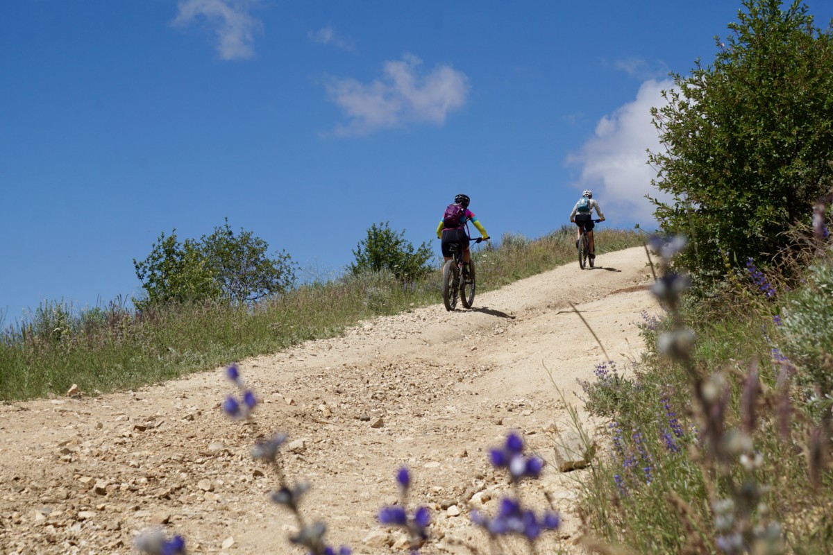
Saddle up, hearty souls! It’s time for the 5th running of the Boise Ridge Road Randonnee! Join us for this challenging – potentially brutal at times – ride over some of the rugged dirt roads, moto trails and singletracks that criss-cross the Boise Ridge. If you’re looking to test your climbing legs, take in some iconic views and explore some little-traveled zones in your big backyard you should come along!
UPDATE: We’ve altered the route slightly for 2019 to include the Cobb Trail and Lucky Peak Trail, both part of the Boise Trails Challenge. Follow the link to learn more and register if you’d like. Other than our route up Lucky Peak we’ll follow the same track as in years past. Of course, you’re under no obligation to stick to our suggested route.
Ride Details
This is not a race or event – this is an unsupported, unsanctioned, informal bike ride with friends. You are 100% responsible for your own safety and enjoyment. We are providing a route suggestion and nothing more. Plan Ahead and Prepare! Arrive at the start with good legs, a well-maintained bike, plenty of food and lots of water. Finish times average around 8 hours for the complete route.
- START: Boise Co-Op, 9th and Fort. Arrive no later than 8:45. Ride departs promptly at 9:00am.
- FINISH: Sun Ray Cafe, 13th and Eastman.
- 48 Miles, ~7,200 feet of elevation gain.
- https://ridewithgps.com/routes/30292076
Route Details
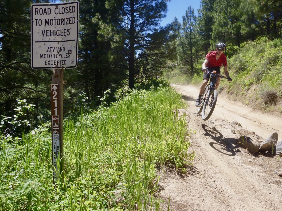
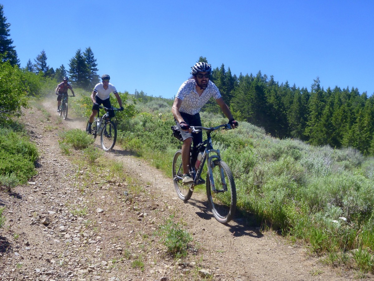
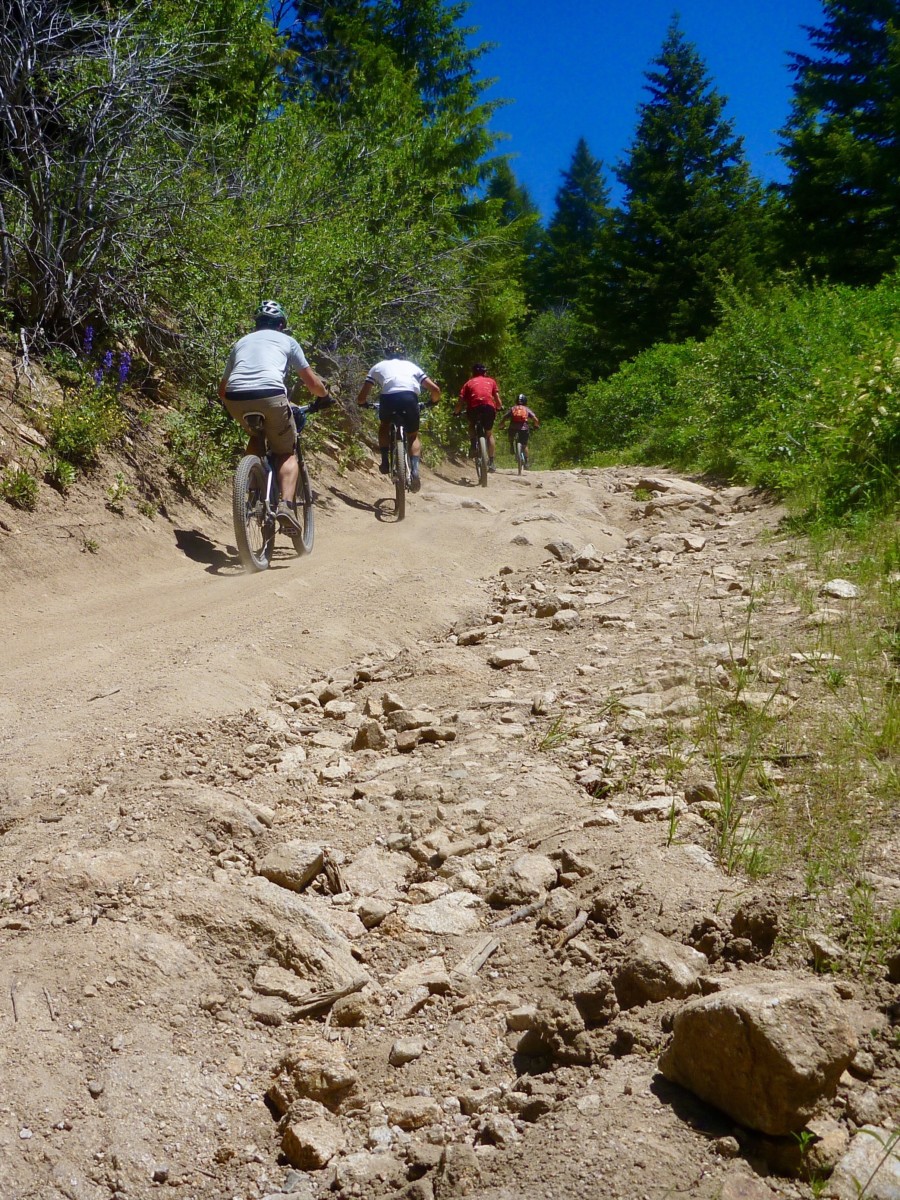
Many sections of the route are unmaintained and conditions are unpredictable. After this past winter’s heavy snow and an unusually wet spring we expect even more ruts, loose rock, sandy washes, etc than in years past. Keep your wits about you! Much of the route is also very exposed to the sun, so protect yourself and be sure to start hydrated! Here’s that route link again: https://ridewithgps.com/routes/30292076
Bike/Tire Selection
Wide tires (2.2″/56mm or wider) and low gears are highly recommended. Suspension won’t hurt (especially on the rough-and-tumble descent from the Eagleson Summit) but isn’t strictly necessary. Any good mountain bike or dirt touring bike should be adequate. Road, cyclocross or pavement touring bikes are not a good option.
Resupply Notes
There are no resupply options en route with the exception of the Ranch Market at mile 6.5. Water may be filtered from Robie Creek between mile 30 and 33. Be prepared to carry all food, water and supplies you will need to complete the route.
Questions? Comments? Call, email or stop by the shop. Don’t forget to tag your photos: #RidgeRoadRandonnee #RidgeRoadRandonneurs #BikeTouringNews.
Let’s Ride!