NO WHINING
My initial response to this misery is to put the blame on someone and then to either make hurtful comments to that person or pout; preferably both. This is not the way I had wanted to go. My route would have been much easier and would have involved effortless pedaling through be-flowered high mountain meadows with cool breezes at our backs, and butterflies. Instead we have been climbing on a dirt road for the last six miles and we still have two more miles to the summit.
Also aggravating me is the thought of the person I hold responsible- Sky King- sitting at the top right now waiting for me and almost certainly judging me for my lack of restraint at the Salmon River Brewery last night. They had barley wine. What was the Bike Hermit™ supposed to do? I am stewing at the top of the pass where we stop to eat lunch. I want to whine and to express my temper, but nobody else is complaining and so I keep it to myself.
It is looking less and less likely that we will make it to the Bear Pete trailhead today. The Bear Pete Trail is a 15 mile section of the 172 mile Secesh Option of the Idaho Hot Springs route map put out by Adventure Cycling Association. Adding to my frustration is my self imposed expectation of responsibility to the thousands of faithful readers who depend on this blog for all their bike touring news. I want to report the actual conditions of this trail, especially since we have been told by a local that it is almost un-rideable even with an unloaded mountain bike. The people at the McCall Ranger District of the Payette National Forest were very helpful and were able to tell us where crews had been and where they were currently working to clear downed trees from the trail.
MORE BIGGER TIRES
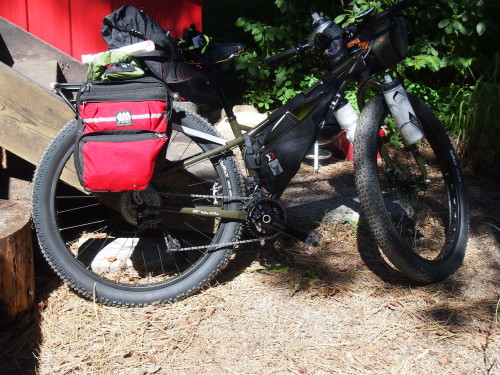
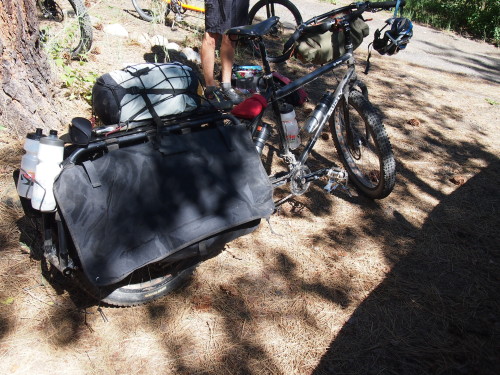
The more bikepacking I do the more I am convinced that three inch tires are the way to go. On this trip we are four people; two riding Surly ECR bikes with 29×3″ tires, one on a Salsa Fargo and me on the Big Dummy with three inch wide tires. You’ll have loose gravel and sand, boulder strewn singletrack, and off piste corrections in bikepacking and those sectors are smoothed out with bigger tires. Lack of traction also becomes less of a limiting factor. The disadvantage may be on paved sections but lately our trips have been mostly in the backcountry on “varied” surfaces. That said, the 29×3″ Surly Knard tires on the ECR roll surprisingly fast.
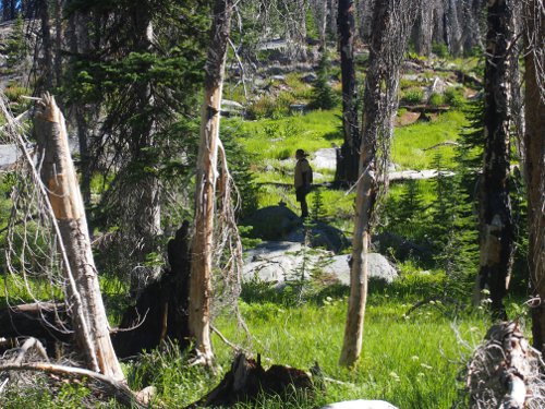
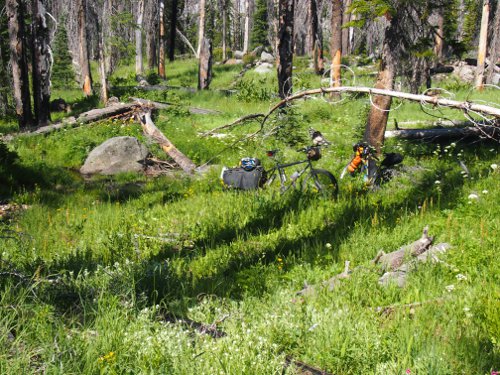
We camp in the puckerbrush on the northwest side of Granite Lake, about a mile down a single track trail, where we are protected from the RV campers. After setting up camp we ride a half mile further along the trail and discover a broad meadow with slow moving spring fed streams where we filter water into our bottles and bladders for the next day. Some sort of horned beast walked through our camp in the middle of the night; two of us heard it snorting and clomping around on the granite outcroppings.

Salsa Anything Cage with Surly Junk Straps and Revelate Designs Mountain Feedbags doing extra duty for collecting water.
FAILURE AS AN OPTION
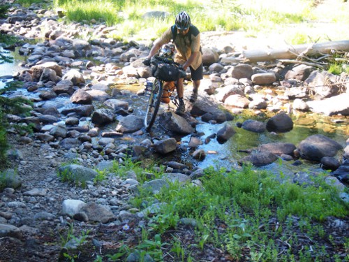
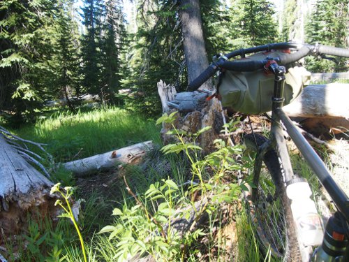
Two of us decide to push ahead the next day on the trail to Upper Payette Lake and maybe beyond to the Bear Pete trailhead, while the other two return to McCall the way we came yesterday. Soon- and this may come as no surprise to those who have been bikepacking with me- we were lost. The “trail” we had been following was only intermittently visible but was marked at intervals with two or three rocks stacked one on top of another. And the bigger downed trees blocking the way had been sectioned, creating passageways through which we could wheel the bikes. The trail shown on the forest service map I carried worryingly indicated a different bearing than the trail we were on, but there was no sign of another trail. We arrived at the top of the drainage where a great granite blister of the Idaho Batholith blocked our passage and we turned back.
THERE’S AN APP FOR THAT
Being lost and disoriented is unnerving. Even though all we had to do on this day was follow the stream back down to the main trail, I still could induce a minor panic if I let myself. That’s why, when I was back safely in front of the computer and found the Adventure Cycling GPS files page for the Idaho Hot Springs Route, I immediately downloaded the files and the apps for my Droid phone. The app for Droid is called Locus (there is a free version but I splurged for the Pro version for $8.75) I used Dropbox on the phone and the computer to upload the files and it was ridiculously easy. All the instructions are on the Adventure Cycling page linked above.
Now that I have a backup for the map I feel a little more confident about trying some more sections of the route. This is some rugged, remote and unforgiving country. A small mistake can turn into a large problem and I might as well take every available advantage. I will still take my paper map and $13.00 compass though.
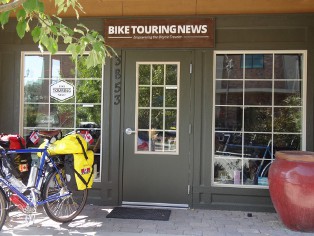
Please remember we carry bags, racks, tools, components and complete bikes for bikepacking and bike camping at the Bike Touring News Store


KB July 31, 2014, 4:42 pm
That was one hellish trip.
Bike Hermit™ July 31, 2014, 4:48 pm
Sky King just called us “wusses”!