Late February might not normally be a time one could expect to find dry conditions in the Snake River Canyon. Blame climate change or just call it good luck but a long spell of dry and unseasonably warm weather in the middle part of the month has resulted in excellent trail conditions throughout much of southwestern Idaho. I joined on with a crew of seasoned desert travelers for a trip through the Snake River Canyon from the Swan Falls dam, downstream on the southern bank before crossing the river at Celebration Park and pedaling back upstream on the north side.
Our crew of six drove from Boise to Swan Falls, where we were greeted with a stiff breeze and chilly temperatures. We debated layering strategies, topped off water supplies and saddled up to explore the canyon.
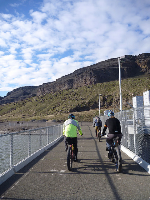
We made our way across the dam walkway to the opposite bank and struck dirt on the sandy beach.
We rode upstream along the riverbank before taking a sharp right turn and heading up a steep, rocky ascent. Having entered into this ride in a state of near-total ignorance regarding the route details, I was afraid that we were about to climb the whole way to the canyon rim on this rugged, broken track.
Fortunately, we peeled off the uphill path after a brief but strenuous climb and began to contour along the upper slope of the river bank.
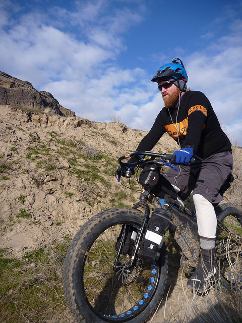
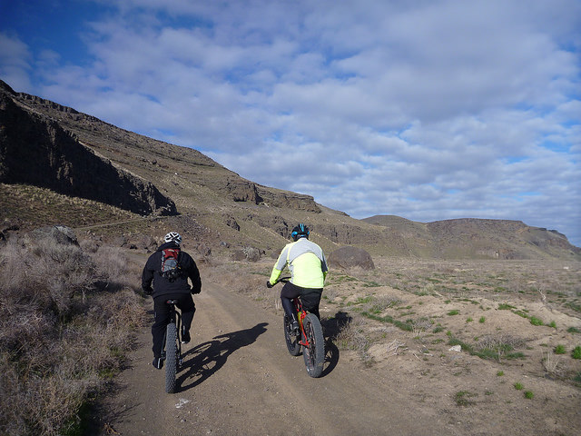
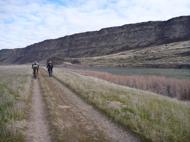
The road conditions also improved dramatically and we spun along the hardpacked dirt road, soaking in the scenery and sunshine.
We made our way along the firm, sometimes sandy double-track through grasses and sagebrush.
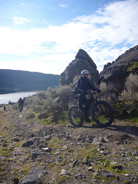
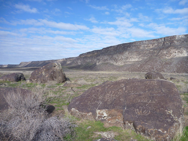
Before long, we reached a grouping of rocks standing all alone in the midst of the grassy flood plain. Many of the larger boulders were covered with tattoo-like petroglyphs. I won’t attempt to summarize the history of human habitation in this canyon, but these ancient marks stand as a testament to the fact that humans have found this to be a significant place for hundreds of years.
We continue to be drawn here for many of the same reasons that those early people came but we weren’t making camp among these relics from the past.
We paused for a snack and reflection before climbing aboard our steeds and continuing the downstream journey. The clouds above had begun to thin, the breeze had diminished to barely a whisper and we were all happy to shed some layers.
As we continued along the river bank, our grassy flood plain grew narrower and narrower until we were confronted with a section of boulder-strewn canyon wall that fell away at a 45-degree angle straight to the water. The trail through the boulder field was narrower than our tires in many places and rocks varying in size from babyhead to VW Bug impeded our progress.
As I’m often prone to do, I neglected to photograph this most challenging section of the ride as I was too busy trying to keep my wheels beneath me or lifting my bike up and over obstacles. Some of the more daring riders claimed to have ridden 75% of this section. I was lucky to clean 50% and was happy to walk the remainder of the time.
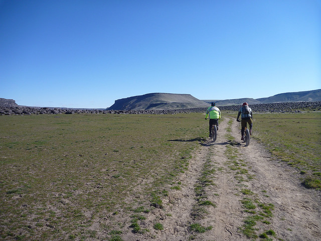
After exiting the boulder field we continued to traverse hillside singletrack until we reached a junction for the bridge crossing at Celebration Park. We made our way across the old railroad bridge and stopped for lunch at a sunny picnic table before rolling upriver on a heavily-braided, dusty single, double and sometimes triple-track across the grassy plain.
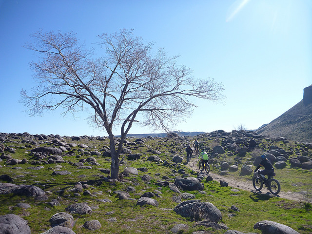
On the northern side of the Snake, we soon came to the same boulder field that inhibited our progress on the opposite bank. However, we found much easier going this time around as the rocks were strewn across a rolling section of the flood plain rather than a steep hillside.
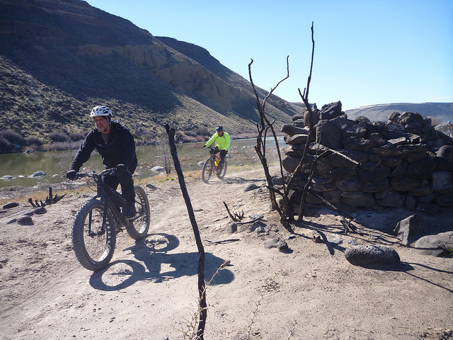
We wound and bounced our way around and over the rocks, past the remains of stone shelters and across sandy washes along the riverside.
Compared to the outbound trip, the return leg was much easier going. Some recently-dried sections of trail were heavily cratered from equestrian use earlier in the season but the fatbikes smoothed out the worst of the bumps. We slowly meandered closer to the canyon wall through grasses and brush. Birds flew to and from their cliffside nests and we enjoyed the sun on our backs while we pedaled east.
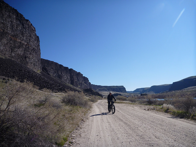
Eventually, we emerged at the end of our trail and the start of a gravel road that would carry us back to the cars at Swan Falls Dam. “Okay, you can put your slicks back on,” joked one of our party.
We made it back to the Swan Falls park in good spirits; tired from the day’s exertions but happy to have had a rare late-winter opportunity to explore this amazing canyon. I’ll be back, for sure.




Linda February 24, 2015, 7:38 am
Great photo essay! That 11th picture, the one with the tree and the rock field….stellar!
Scott Frey February 24, 2015, 7:41 am
Wonderful writeup and pics. This is absolutely a great ride in all respects. Thanks for sharing it with us Ryan.
Sky King February 24, 2015, 7:45 am
I am with you Scott, can’t wait to ride that section myself, soon – very soon!
Kelly February 24, 2015, 8:12 am
Great write up!
Bill McKnight February 24, 2015, 9:01 am
Very cool trip report. Your find some interesting adventures.
ndn February 24, 2015, 9:45 am
LIVIN AND LOVIN LIFE ON A BICYCLE.THANKS TO ALL WHO CAME OUT FOR THIS RIDE. MANY MORE RIDES LIKE THIS TO COME.
Steve February 24, 2015, 10:26 am
Nice log of the ride! I’ve done the section along the east side of the river. When things dry out, the soft basaltic soils can be a bit tough for a regular mountain bike. How do you think a regular mountain bike would do on the whole loop?
Ryan King February 24, 2015, 10:04 pm
Steve,
Good question. I rode a regular mountain bike with 2.25″ tires on the ride described above and had a great time; never felt at a disadvantage to the fatty rollers. However, I don’t know what conditions would be like in summer or fall when there is significantly less moisture in the soil. Other riders with more experience in the area could probably answer your question better than me but I’d wager a reg’lar ol’ fat tire mountain bike would work just fine except in the very driest months.
Thanks for reading,
Ryan