This post is a placeholder for comments on the specific section of the Idaho Hot Springs Mountain Bike Route maps published by Adventure Cycling Association. People who have ridden this section of the route are encouraged to report on current conditions by using the Comments. The reliability and timeliness of the reports depend solely on the contributors. Bike Touring News takes no responsibility for any outdated or inaccurate information here. For an index of all the sections of the route please see this page.
Recent Comments
Boise Showroom
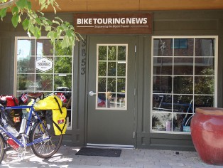
3853 N. Garden Center Way
Boise, Idaho
208-806-2111
HOURS: 10am to 6pm, Mon. - Fri.
Other Hours by Appointment
Carlos Gutierrez August 21, 2014, 7:42 pm
Hi, I completed the Willow Creek Option the week of August 4th. For this leg of my trip I started in Boise and ended in Ketchum, via Atlanta (clockwise).
Road to Atlanta: good condition with not much traffic, some minor washboarding.
Atlanta: Russ at the Beaver Lodge makes a great burger & fries and has beer on tap. He’ll sell some dry goods if asked (I needed a few meals for the trail). There is lodging available @ $65/night. I wild camped near the Chattanooga Hot Springs.
Hot Springs: Chattanooga gets my vote for the best; Atlanta is nice with easy access; Powerplant is riverside with several pools of varying temperatures.
Mine Hill Road: nicely graded but steep, I walked most of the way. Hardly any traffic.
Singletrack to Decker Creek Summit: from the Mine Hill Road saddle, the trail starts out smooth, then degrades to fist-sized gravel, then a couple of big deadfalls you’ll have to navigate around. As you climb the trail becomes increasingly steep (45 degrees at time) and rocky. Swampy, muddy, and wet sections, too. Only tracks I saw were from a motorcycle – otherwise it looks like nobody has been through there in weeks. I was riding a vintage Trek no-suspension mountain bike with Ortlieb rear panniers, 26″ wheels with 1.75 tires. Totally the wrong rig. I pushed/pulled/dragged/lifted my bike for about 10 hours to get from the Mine Hill Road saddle to Decker Creek Summit! This includes breaks, though – the scenery is fantastic and you won’t run into anybody.
Camping: some spots along the way to camp next to Decker Creek. I camped on the summit in the clouds – I arrived at 9:30pm and found it ghostly.
Descent to Willow Creek: You can ride a bit at the summit, then the trail gets rocky and the problem became holding both brakes tight enough so the bike wouldn’t get away from me. Took me about 5 hours to get down to the Willow Creek Hot Springs (in a rain storm). After you’re about 1/3 way down, you can start to ride some sections. Lots of creeks to cross but no deadfalls.
I’d recommend taking the option…but only with the right bike and the right packs! The Adventure Cycling maps narrative says the option is “steep, rocky and technical.” I can confirm that means VERY steep…VERY rocky…and if you want to be able to ride and truly enjoy the challenge, VERY technical!
Carlos
Bike Hermit™ August 22, 2014, 9:44 am
Thanks Carlos for the brief but detailed descriptions. Looking forward to your reports on other sections!